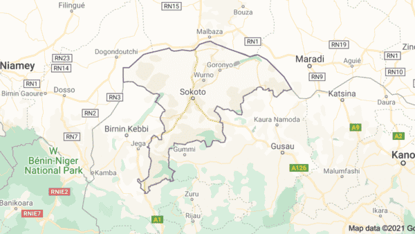
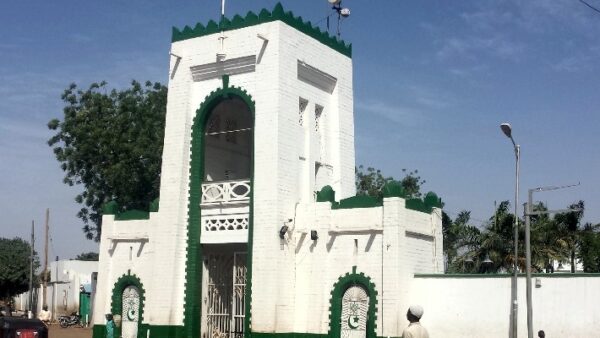
Sokoto state nicknamed the “Seat of the Caliphate” is located in the Northwestern region of Nigeria. Created on 3 February 1976, the state shares its borders with Niger Republic to the North, Katsina State to the East, Zamfara State to the Southeast, Kebbi State to the South and Benin Republic to the West.
Sokoto was founded as a ribat (military camp or frontier) in 1809 when Shehu Usmanu was at Sifawa. The State is a veritable center of Islamic learning and jurisprudence and has the largest limestone reserves in Africa.
Sokoto State Snapshot
- Total land area: 27,825 Km2
- Population: 5,307,154 (Male- 2,706,649 and Female- 2,600,506)
- Vegetation: Hot Semi-arid and Tropical Savannah
- Major crops: Onions, Sugarcane, Millet, Guinea corn, Maize, Rice, Beans, Wheat, Cassava, Potatoes, Groundnut, Cotton, and Tobacco.
- Solid minerals: Phosphate, Gypsum, Limestone, and Kaolin.
Main Investment Opportunities
Opportunities for investment exist in:
- Agribusiness
- Light Manufacturing
- Healthcare
- Tourism
- Energy
- Mining
Sokoto State is located in the northwestern part of Nigeria. It is one of the 36 states in the country and is known for its rich cultural heritage and historical significance. The state is divided into several Local Government Areas (LGAs), each with its own administrative headquarters.
Sokoto has 23 Local Government Areas (LGAs), each with its own unique characteristics and attributes. These LGAs play a crucial role in the governance and administration of the state. Here is a list of the 23 Local Government Areas in Sokoto State:
- Binji LGA
- Bodinga LGA
- Dange Shuni LGA
- Gada LGA
- Goronyo LGA
- Gudu LGA
- Gwadabawa LGA
- Illela LGA
- Isa LGA
- Kebbe LGA
- Kware LGA
- Rabah LGA
- Sabon Birni LGA
- Shagari LGA
- Silame LGA
- Sokoto North LGA
- Sokoto South LGA
- Tambuwal LGA
- Tangaza LGA
- Tureta LGA
- Wamako LGA
- Wurno LGA
- Yabo LGA
List of Sokoto State’s 23 Local Government Areas with their Headquarters
Here is a comprehensive table listing all the LGAs in Sokoto State along with their headquarters:
LGA | Headquarters |
---|---|
Binji | Binji |
Bodinga | Bodinga |
Dange-Shuni | Dange |
Gada | Gada |
Goronyo | Goronyo |
Gudu | Gudu |
Gwadabawa | Gwadabawa |
Illela | Illela |
Isa | Isa |
Kebbe | Kebbe |
Kware | Kware |
Rabah | Rabah |
Sabon Birni | Sabon Birni |
Shagari | Shagari |
Silame | Silame |
Sokoto North | Sokoto |
Sokoto South | Sokoto |
Tambuwal | Tambuwal |
Tangaza | Tangaza |
Tureta | Tureta |
Wamakko | Wamakko |
Wurno | Wurno |
Yabo | Yabo |
These LGAs are further divided into wards and villages, allowing for effective administration and governance at the grassroots level. Each LGA is headed by an elected chairman who oversees the affairs of the local government.
For more details about each LGA, including historical background, population, and notable landmarks, you can visit the official Sokoto State Government website at www.sokotostate.gov.ng.
Sokoto State is a diverse and vibrant state with a rich cultural heritage. The LGAs play a crucial role in the administration and development of the state, ensuring that government services and programs reach every corner of Sokoto State.
Disclaimer: The information provided in this article is based on the knowledge available up to January 2023, and there may have been changes in administrative divisions since then. It is always recommended to verify the latest information from official sources or the Sokoto State Government website mentioned above.
References:
- Sokoto State Government: www.sokotostate.gov.ng